LJA Engineering Expands Land Development and Construction Management Services In Phoenix
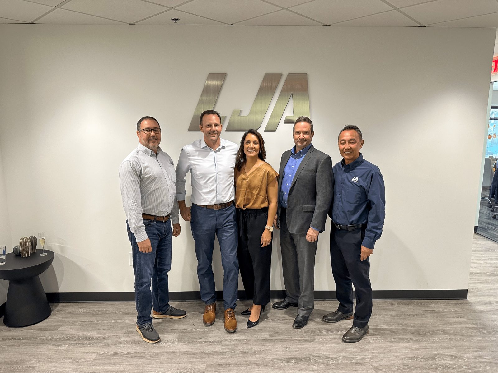
Houston, TX – LJA Engineering, Inc., has expanded its presence in Arizona with the addition of an 11-person team of land development and construction management professionals from Sandbox Development Consultants, Inc., based in Phoenix. The addition of the Sandbox Team positions LJA as a leading provider of land development services in the Phoenix and Tucson markets.
The new team, led by Anthony Sumner, Vice President, and Guy Lake, Director of Land Development, will continue to serve Sandbox’s clients and help LJA to offer similar services to its clients, driving business growth and fostering greater opportunities for our employee-owners.
LJA, headquartered in Houston, has earned a national reputation as a distinguished leader in the land development market, with a presence in key locations and regions across the US. The company’s commitment to excellence and industry-leading practices presents endless opportunities to assist clients through various stages of feasibility, entitlements, and land development.
“We are thrilled to join LJA”, said Anthony Sumner, Vice President. “This partnership allows us to strengthen our position in the market, offer enhanced services to our clients, and create new career and ownership opportunities for our team members in a 100%-employee-owned firm. We are confident that the collaboration with LJA will take us to new heights in the land development industry.”
LJA’s President and CEO, James Ross, added, “We welcome the Sandbox Team to the LJA family. The addition of these professionals reflects our commitment to growth and innovation, and we believe that the combined expertise of our teams will deliver even greater value to our clients and their projects in the greater Arizona region,” he said.
##
For More Information Contact:
Donya Edler
Marketing and Communications Director
dedler@lja.com
About LJA
LJA is an employee-owned, full-service, comprehensive multi-disciplinary consulting firm. With more than 50 offices across the nation, we offer one-source, one-stop reliability for all our clients, when and where they need us. Focusing on market areas of expertise, we can seamlessly build successful project teams with civil, structural, and electrical engineers, plus hydrologists, planners, landscape architects, construction managers, GIS designers, and surveyors.